I build the pipelines
that turn satellites into science
Geospatial data engineer and earth observation scientist. I design, build, and maintain satellite-imagery data pipelines, manage spatial databases, and run remote-sensing science for biodiversity, geotechnical, and earth-systems work.
FromFromrawraworbitalorbitalscenesscenestotoanalysis-readyanalysis-readydatadataandanddocumenteddocumentedAPIsAPIs——IIturnturnsatellitesatelliteimageryimageryintointosciencescienceteamsteamscancanactacton.on.
From orbit to insight
IIworkworkacrossacrossthethefullfullearth-observationearth-observationstackstack——engineeringengineeringthethepipelines,pipelines,managingmanagingthethespatialspatialdata,data,andanddoingdoingthetheremote-sensingremote-sensingsciencesciencethatthatturnsturnssatellitesatelliteimageryimageryintointotrustworthytrustworthyanswers.answers.
Satellite Data Pipelines
Design, build, and maintain ETL/ELT pipelines that turn raw satellite imagery into analysis-ready data — orchestrated, tested, and reproducible.
Remote Sensing Science
Earth-systems science across biodiversity, geotechnical, and sector assessments — change detection, classification, and indicators from raster and vector data.
Spatial Databases
Manage PostGIS databases end to end — cleaning, preparation, and conversion — for the integrity, efficiency, and security of geospatial data.
Geospatial APIs & Web
Software development and documentation, plus optimised database schemas built with web developers to power geospatial APIs and web applications.
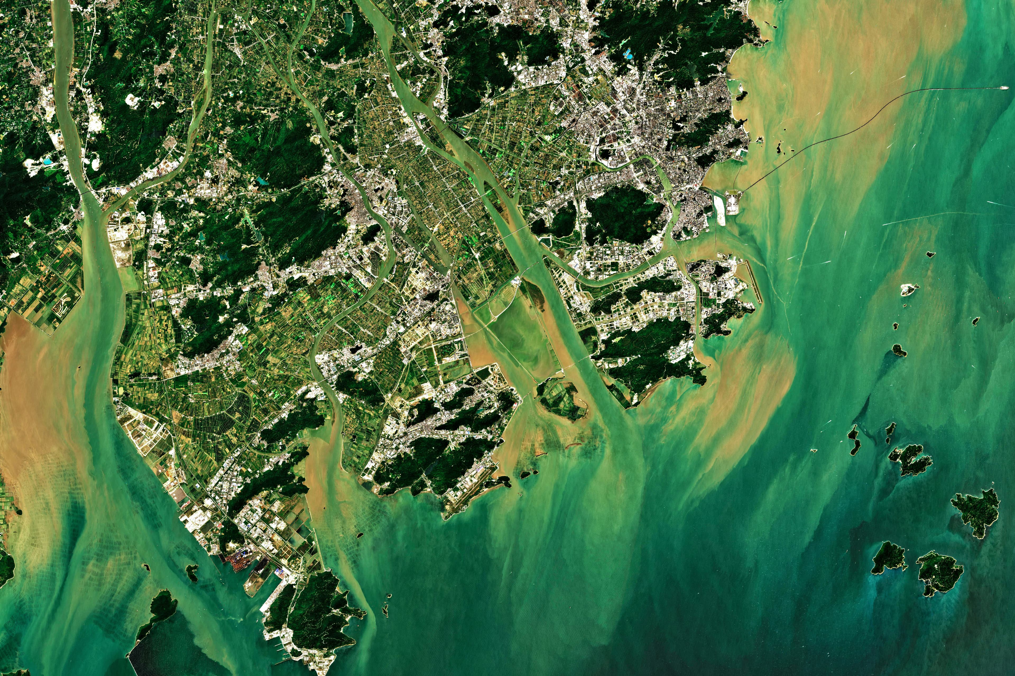
From raw scenes to analysis-ready data
Ingest, cloud-mask, reproject, and publish — orchestrated pipelines (GDAL, Rasterio, Airflow) that turn raw Sentinel and Landsat scenes into cloud-optimised, reproducible data the whole team can trust.
Earth-systems science, end to end
Leveraging emerging Earth Observation data with R, Python, and GIS to deliver biodiversity, geotechnical, and sector assessments — grounded in earth systems science and backed by reproducible methods.
Biodiversity & habitat
Land-cover classification and habitat-change detection to support biodiversity assessments of products, portfolios, and sectors.
Geotechnical & earth systems
InSAR and terrain analysis for ground-deformation and stability screening across assets, sites, and sectors.
Change detection & monitoring
Multi-temporal analysis of optical and radar imagery to quantify change and track environmental trends over time.
Scientific reporting
Reproducible notebooks in R and Python, with clear reports and deliverables that stand up to scrutiny and ship on time.
Geospatial engineering from ingestion to delivery
Full-spectrum earth observation work — from satellite data pipelines and spatial databases to remote-sensing science, geospatial APIs, and scientific reporting.
Data Pipeline Engineering
Design, build, and maintain ETL/ELT pipelines for satellite imagery — ingestion, processing, and publishing of analysis-ready data.
Spatial Database Management
PostGIS modelling, cleaning, preparation, and conversion procedures that keep geospatial data accurate, efficient, and secure.
Remote Sensing & Analysis
Raster and vector processing, transformations, change detection, and classification with Google Earth Engine, Python, and R.
Geospatial APIs & Web
Software development and documentation, plus database schemas optimised with web developers to power FastAPI services and web maps.
Spatial Analysis & Reporting
Spatial statistics and analysis on emerging EO data, delivered as indicators, reproducible notebooks, and scientific reports.
Cloud & Orchestration
Containerised, orchestrated workloads on GCP — Docker, Airflow/Dagster, Terraform, and CI/CD for reproducible, observable runs.
Technology Stack
The languages, geospatial libraries, and infrastructure I use to build production-grade earth-observation systems.
Languages
Geospatial
Pipelines & Cloud
Web & APIs
The data pipeline lifecycle
Scroll through each phase — every project follows the same path from raw satellite scenes to analysis-ready data, spatial databases, APIs, and scientific reporting.
Objectives & Data
Discovery
Understanding the science question, data sources, and delivery objectives — scoping the imagery, AOIs, and outputs that matter.
ETL & Acquisition
Ingestion
Automated discovery and ingestion of satellite scenes and vector data into orchestrated, reproducible pipelines.
Transform & Validate
Processing & QA
Cloud masking, reprojection, transformations, and spatial analysis with GDAL, Rasterio, and GEE — with automated QA at every step.
Model & Store
Spatial Database
Modelling clean PostGIS schemas with validated geometries and indexes for integrity, efficiency, and secure access.
Serve & Integrate
API & Delivery
Documented FastAPI services and schemas built with web developers to power APIs and web mapping applications.
Analysis & Deliverables
Reporting
Indicators, reproducible notebooks, and scientific reports delivered within the agreed objectives of quality and time.
Earth observation, engineered
Scroll through case studies — from satellite data pipelines to remote-sensing science and geospatial APIs.
Have an Earth Observation or spatial-data project?
WhetherWhetheryouyouneedneedaasatellite-imagerysatellite-imagerydatadatapipeline,pipeline,aaspatialspatialdatabase,database,ororremote-sensingremote-sensingsciencescienceandandreportingreporting——let'slet'sturnturnorbitalorbitaldatadataintointoanswers.answers.